On Tuesday, Jan. 26, residents and business leaders in Person County communities will have an opportunity to review and discuss the latest flood hazard and flood risk data.
 Available digitally, preliminary flood hazard information can be layered on top of the county’s parcel data so property owners can better determine potential risks to their land. Residents can see the maps on Tuesday, Jan. 26, from 10:30 a.m. until 12:30 p.m. at the Person County Planning Department Conference Room located at 325 South Morgan Street in Roxboro.
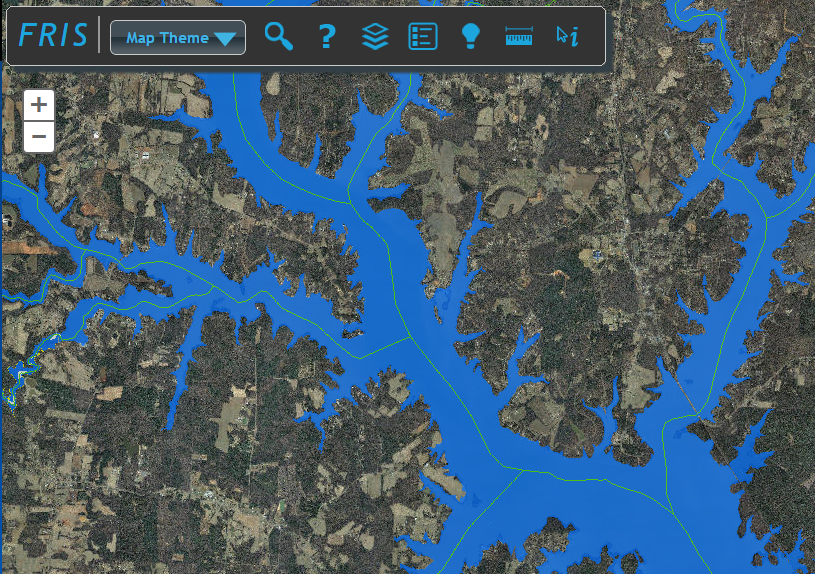
Residents also can access the flood hazard data online at http://fris.nc.gov/fris/. Digital flood hazard data also can be viewed by calling the Person County Planning Department at 336-597-1750 or the North Carolina Floodplain Mapping Program (NCFMP) at 919-825-2302.
The Jan. 26 public meeting will provide an opportunity for residents to see the results of the revised studies and new flood hazard areas. County and municipal employees will be on hand to help residents locate particular properties from the flood hazard data and determine their level of flood risk. Representatives from the NCFMP will discuss the flood study process, how the data can be used to reduce future flood losses, and how the preliminary hazard data may impact flood insurance and floodplain management. Attendees also may see a demonstration of the North Carolina Flood Risk Information System. Staff will be available to answer questions about the hazard data update process, flood insurance coverage and floodplain management.
The North Carolina Floodplain Mapping Program was established in 2000 with a mandate to update flood maps for all 100 counties. Through a partnership with the Federal Emergency Management Agency, the state was charged with creating and maintaining the flood insurance maps for all North Carolina communities. Since 2003, the NCFMP has analyzed, updated and digitized the flood data for all 100 counties and associated communities. The latest flood map updates are based on recent studies and local input. Only those portions of the map that have been affected by revised streams have been updated. Therefore, some communities in the county will not have new flood hazard data, although adjacent counties may have some updates.
For more information on an individual property’s flood risk, visit http://fris.nc.gov/fris/.
NOTE TO EDITORS: For more information on the public meeting, contact: Paula Murphy, Person County Planner, 336-597-1750, or Milton Carpenter, State Floodplain Mapping Program, 919-825-2302.